Where Every Coordinate Counts
We establish, maintain and verify the national geodetic control framework that ensures all mapping and spatial data in Pakistan align precisely. With rigorous standards and modern surveying technology, we provide the foundational accuracy that empowers development, security and governance. From coordinates to cadastral boundaries, our position-accuracy services underpin every trusted map, model and spatial decision
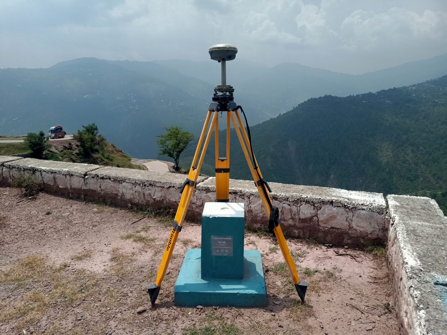
Geodetic Control Network
We manage the national geodetic network, fixed stations and reference points across Pakistan that ensure coordinate consistency and high-precision survey baselines

Projection & Coordinate Services
We supply converted geographic and projected coordinates on request and support users in translating data into the correct CRS (Coordinate Reference System), ensuring that positional information is accurate and compatible
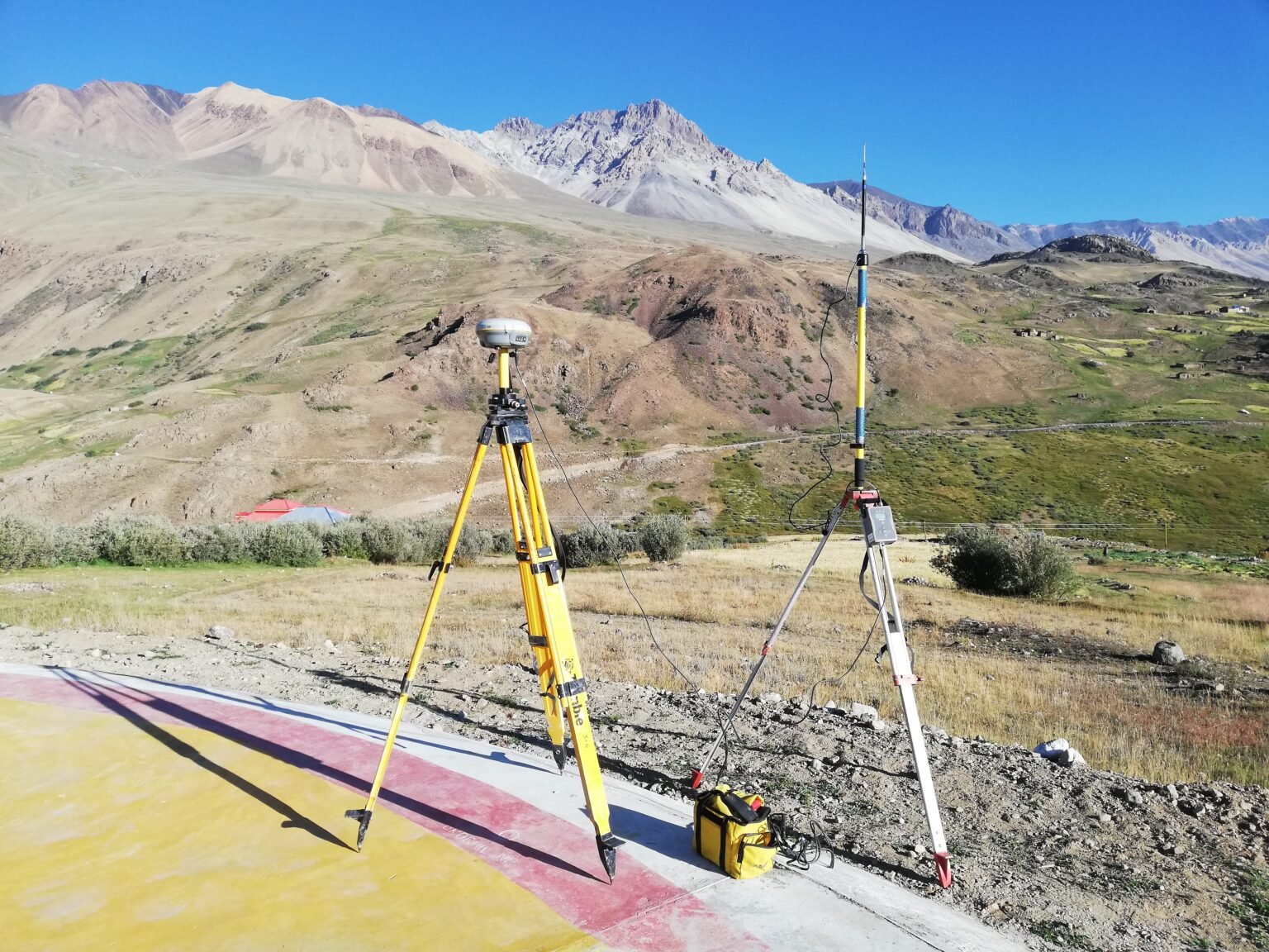
Modern Surveying Technology
We use GPS/GNSS, UAV-based LiDAR, total station and digital photogrammetry tools to capture and validate spatial data with very high accuracy, supporting everything from terrain models to boundary mapping
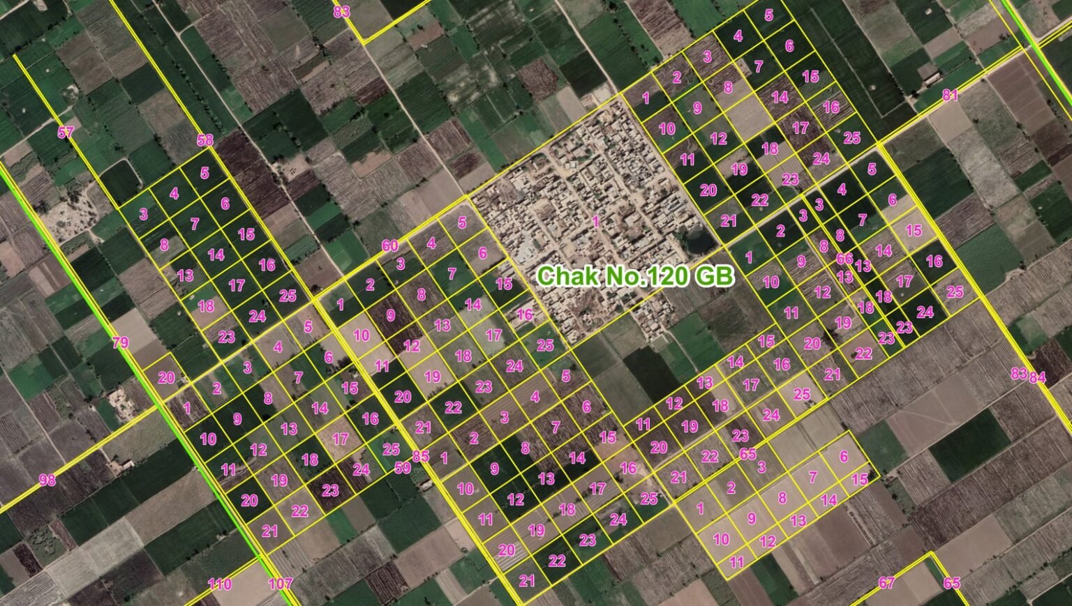
Cadastral & Urban Mapping
Position accuracy is vital for cadastral surveys (land parcel boundaries) as well as urban mapping in major cities. We deliver high-precision maps that inform planning, land registration, infrastructure and development

Quality Assurance & Standards
As the national mapping authority, SoP sets standards, ensures compliance and audits surveying and mapping activities to maintain accuracy, prevent unauthorised mapping and protect data integrity across Pakistan