

Participation in United Nations Global Geospatial Information Management – Asia Pacific (UNGGIM-AP) Experts Consultation and Workshop in Astana, Kazakhstan
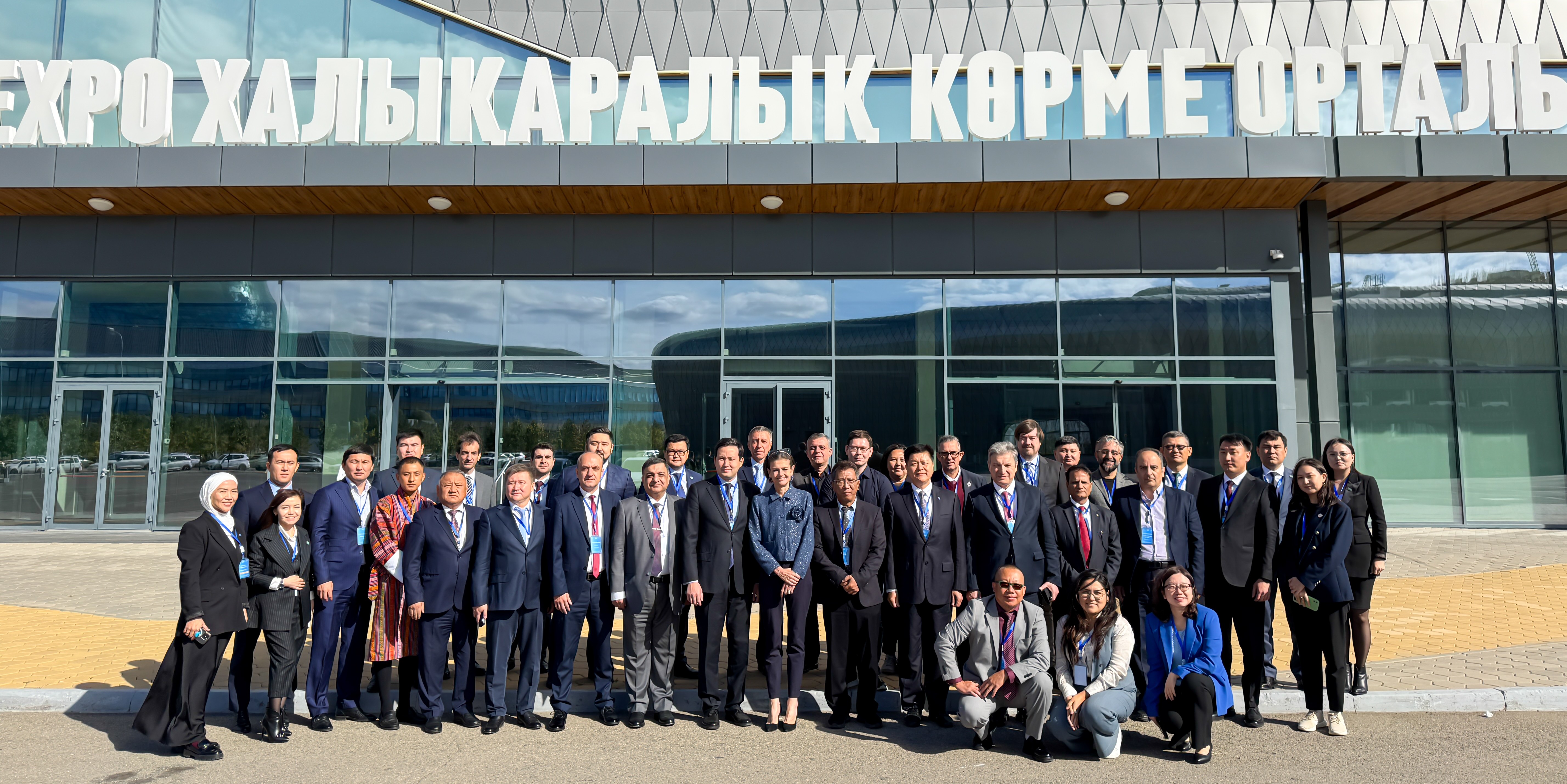
Pakistani delegation, led by Surveyor General of Pakistan, participated in the United Nations Expert Consultation and Sub-regional Workshop on Geospatial Information Management, held from 15 to 19 September 2025 in Astana, Kazakhstan. The event, organized by UNGGIM and United Nations Global Geospatial Knowledge and Innovation Centre (UNGGKIC), focused on geo-information management for accelerating the implementation of the Sustainable Development Goals (SDGs) in member countries. The event brought out several recommendations on behalf of member countries from Central and South Asia for assisting them in better implementation of National Spatial Data infrastructure (NSDI) in their respective countries. These included establishing NSDI as a national priority, engaging with international organizations like UNGGIM and multinational donor agencies for technical and financial assistance and guidance in implementing the United Nations – Integrated Geospatial Information Framework (UN-IGIF) in their countries. Implementing NSDI in Pakistan is likely to yield huge benefits for Federal/ Provincial/ District/ Tehsil governments by streamlining their data acquisition efforts, enabling them to engage in much better planning of public services to the People of Pakistan. Pakistan’s delegation highlighted the progress made so far in implementing NSDI in the country along with challenges currently being faced by Survey of Pakistan in developing Pak-NSDI such as limited financing, fragmented data systems and shortage of skilled human resources etc. The Proposed Roadmap for implementing Pak-NSDI was also presented at the forum. On the sidelines, the delegation also actively engaged with UN experts, identifying key areas for collaboration and capacity-building, in a bid to secure support from UNGGIM/ UNGGKIC for developing a Country Action Plan for Pak-NSDI. Opportunities for technical training of Survey of Pakistan’s staff (for UAV-based mapping and LiDAR technologies) were explored. The delegation also held productive meetings with representatives from Kazakhstan, Türkiye and Iran for future cooperation in geospatial knowledge sharing and other joint initiatives.