

Meeting with Chief Secretary, Khyber Pakhtunkhwa (KP)
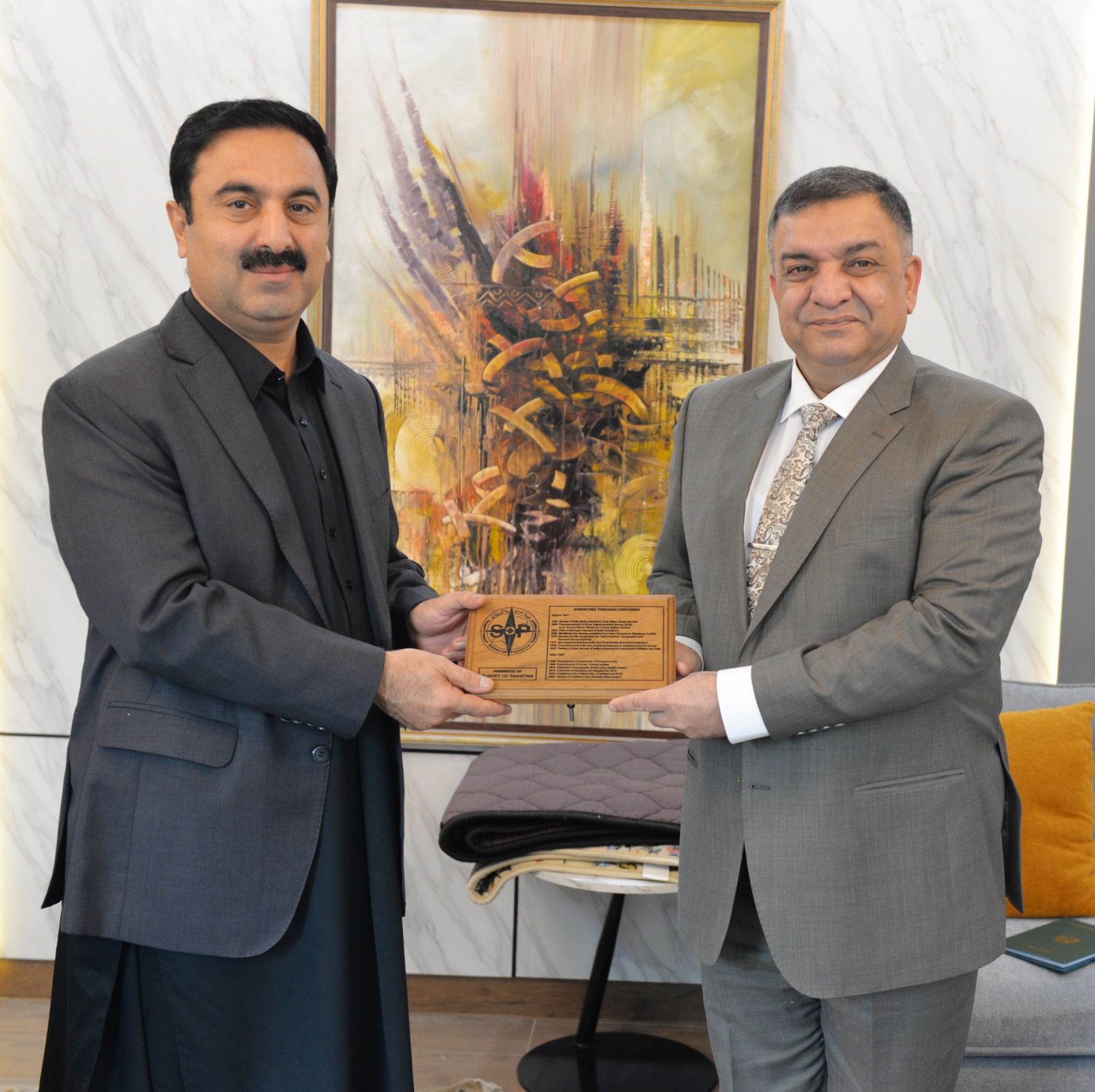
Team SoP, led by the Surveyor General of Pakistan, met with Chief Secretary KP on 18 November 2025 and briefed him on key geospatial projects completed in KP by SoP in recent past. The team also apprised him about SoP’s ongoing geospatial initiatives including the production of high-resolution 3D urban models using VTOL UAVs to support smart digital governance in urban areas. During the meeting, SoP presented a video demonstration showcasing high-resolution UAV mapping of a small area of Islamabad and offered its services for UAV-based imagery acquisition, its conversion to a 3D model and developing a Digital Twin model with assistance from provincial IT team. The team also offered Government of KP to carry out comprehensive topographic mapping of urban areas across the province. Team SoP highlighted potential areas of enhanced collaboration including modernization of land administration systems, 3D modelling of tourist destinations to assist in tourism infrastructure planning, strengthening disaster-risk preparedness and supporting infrastructure development and management. The Team presented a proposal for high-resolution mapping of land parcels for KP Board of Revenue and district administrations. Specialized training programs in surveying, GPS operations and digital mapping were also offered for provincial revenue staff. Surveyor General apprised Chief Secretary KP about SoP’s initiative for establishing Pakistan’s National Spatial Data Infrastructure (Pak-NSDI) and emphasized its importance and long-term benefits for integrated planning and data-driven governance at federal, provincial, district and tehsil levels. Chief Secretary KP acknowledged the important role of geospatial data in promoting, planning and executing sustainable urban development and efficient governance, and expressed interest in strengthening collaboration with SoP in areas of interest for the Government of KP